South Walks Dorchester
Introduction
The photograph on this page of South Walks Dorchester by Sarah Smith as part of the Geograph project.
The Geograph project started in 2005 with the aim of publishing, organising and preserving representative images for every square kilometre of Great Britain, Ireland and the Isle of Man.

There are currently over 7.5m images from over 14,400 individuals and you can help contribute to the project by visiting https://www.geograph.org.uk
South Walks Dorchester
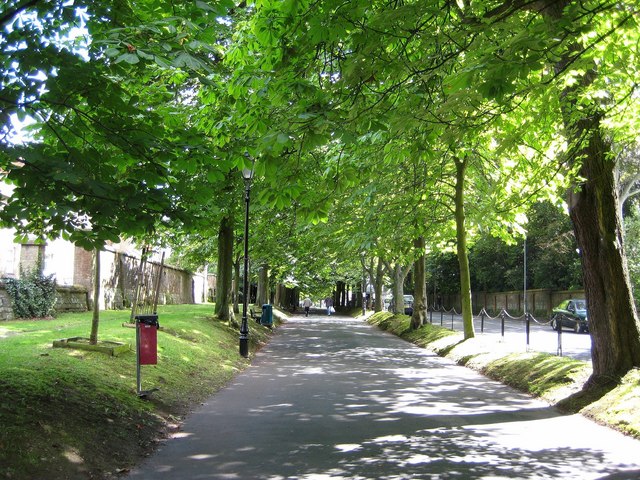
Image: © Sarah Smith Taken: 7 Aug 2008
Leading to Icen Way and Fordington beyond. The walks were laid out in Queen Anne's reign following the line of the outer Roman walls of the town.
Images are licensed for reuse under creativecommons.org/licenses/by-sa/2.0
Image Location


Leaflet Map data © OpenStreetMap
Latitude
50.712605
Longitude
-2.43335