A cliff top house, Whitby
Introduction
The photograph on this page of A cliff top house, Whitby by Peter Church as part of the Geograph project.
The Geograph project started in 2005 with the aim of publishing, organising and preserving representative images for every square kilometre of Great Britain, Ireland and the Isle of Man.

There are currently over 7.5m images from over 14,400 individuals and you can help contribute to the project by visiting https://www.geograph.org.uk
A cliff top house, Whitby
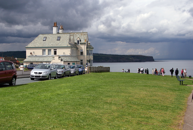
Image: © Peter Church Taken: 2 Aug 2008
There are superb views of the Whitby - Sandsend coastline from this cliff top. This view is west, towards Sandsend. Sandsend Ness, the promontory in view is approximately 2 km distant.
Images are licensed for reuse under creativecommons.org/licenses/by-sa/2.0
Image Location
Latitude
54.493178
Longitude
-0.63395