View southeast along The Green
Introduction
The photograph on this page of View southeast along The Green by Evelyn Simak as part of the Geograph project.
The Geograph project started in 2005 with the aim of publishing, organising and preserving representative images for every square kilometre of Great Britain, Ireland and the Isle of Man.

There are currently over 7.5m images from over 14,400 individuals and you can help contribute to the project by visiting https://www.geograph.org.uk
View southeast along The Green
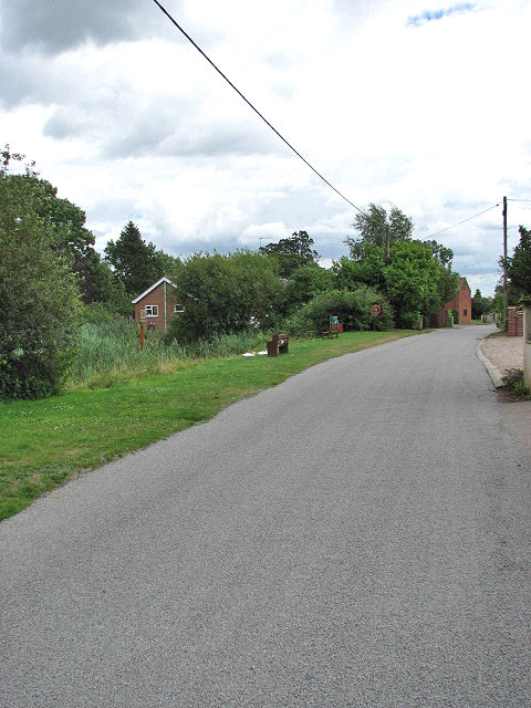
Image: © Evelyn Simak Taken: 4 Aug 2008
The village pond > http://www.geograph.org.uk/photo/911124 can be seen at left. The Green changes name to Horses Head > http://www.geograph.org.uk/photo/911115 further east.
Images are licensed for reuse under creativecommons.org/licenses/by-sa/2.0
Image Location
Latitude
52.656519
Longitude
1.5445