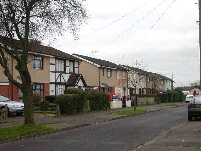
Rugby - Overslade
Introduction
The photograph on this page of Rugby - Overslade by Ian Rob as part of the Geograph project.
The Geograph project started in 2005 with the aim of publishing, organising and preserving representative images for every square kilometre of Great Britain, Ireland and the Isle of Man.
There are currently over 7.5m images from over 14,400 individuals and you can help contribute to the project by visiting https://www.geograph.org.uk

Image: © Ian Rob Taken: 14 Dec 2005
Much has been done recently to improve this sprawling 1940s Estate often unkindly referred to by locals as Tintown.Many of the original Steel houses have been demolished and replaced with brick built homes.Remaining Council owned properties have been re-rooved and an extra skin of bricks and pebble -dashed concrete added.The 4th and 5th houses in this row appear to be in their original state and are probably privately owned
Image Location


