Ford Lane
Introduction
The photograph on this page of Ford Lane by Grant Sherman as part of the Geograph project.
The Geograph project started in 2005 with the aim of publishing, organising and preserving representative images for every square kilometre of Great Britain, Ireland and the Isle of Man.

There are currently over 7.5m images from over 14,400 individuals and you can help contribute to the project by visiting https://www.geograph.org.uk
Ford Lane
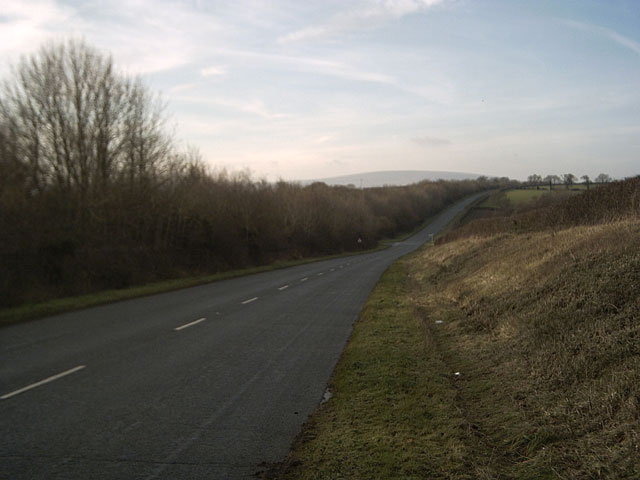
Image: © Grant Sherman Taken: 13 Dec 2005
A rural road runs through rolling Devon Hills. Cosdon Hill Image is visible in the distance. They've done a good job of hiding the A30(T) behind that line of trees on the left-hand side of the road.
Images are licensed for reuse under creativecommons.org/licenses/by-sa/2.0
Image Location


Leaflet Map data © OpenStreetMap
Latitude
50.715383
Longitude
-3.808787