Blue House Farm, near Bedlington
Introduction
The photograph on this page of Blue House Farm, near Bedlington by Alan Fearon as part of the Geograph project.
The Geograph project started in 2005 with the aim of publishing, organising and preserving representative images for every square kilometre of Great Britain, Ireland and the Isle of Man.

There are currently over 7.5m images from over 14,400 individuals and you can help contribute to the project by visiting https://www.geograph.org.uk
Blue House Farm, near Bedlington
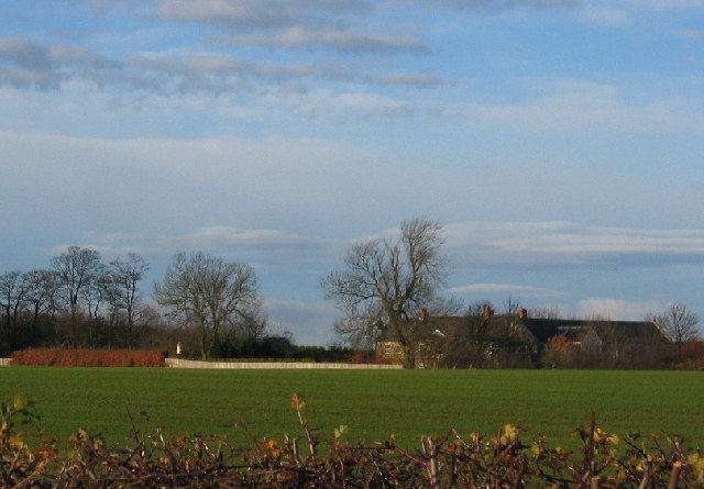
Image: © Alan Fearon Taken: 13 Dec 2005
Once surrounded by Coal Pits this farm now has a rather more picturesque setting
Images are licensed for reuse under creativecommons.org/licenses/by-sa/2.0
Image Location
Latitude
55.135377
Longitude
-1.621959