Park Road, Beeston
Introduction
The photograph on this page of Park Road, Beeston by Oxymoron as part of the Geograph project.
The Geograph project started in 2005 with the aim of publishing, organising and preserving representative images for every square kilometre of Great Britain, Ireland and the Isle of Man.

There are currently over 7.5m images from over 14,400 individuals and you can help contribute to the project by visiting https://www.geograph.org.uk
Park Road, Beeston
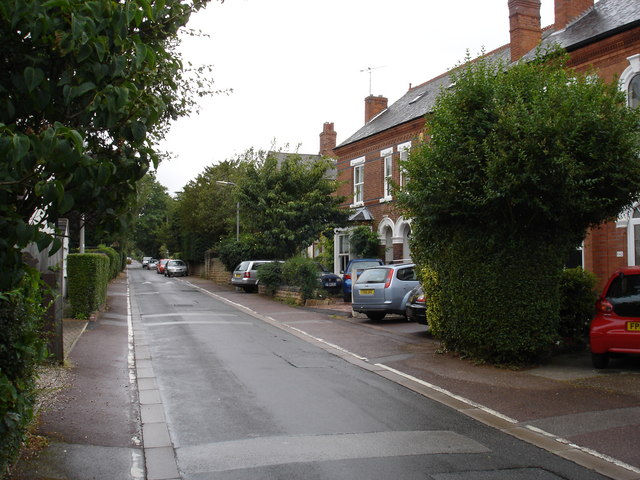
Image: © Oxymoron Taken: 5 Aug 2008
This is representative of a small area of very narrow, heavily tree-lined residential roads to the west of Beeston town centre, probably comprising a late Victorian expansion to the town (the row of villas to the right of the photo bear a plaque dated 1887).
Images are licensed for reuse under creativecommons.org/licenses/by-sa/2.0
Image Location
Latitude
52.92391
Longitude
-1.222921