Junction of Brighton Road & Gorings Mead
Introduction
The photograph on this page of Junction of Brighton Road & Gorings Mead by Dave Grainger as part of the Geograph project.
The Geograph project started in 2005 with the aim of publishing, organising and preserving representative images for every square kilometre of Great Britain, Ireland and the Isle of Man.

There are currently over 7.5m images from over 14,400 individuals and you can help contribute to the project by visiting https://www.geograph.org.uk
Junction of Brighton Road & Gorings Mead
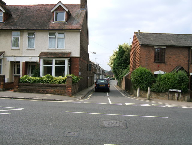
Image: © Dave Grainger Taken: 21 Jul 2006
The Junction of Brighton Road (A281) & Gorings Mead. As you can see above the entrance to Gorings Mead is narrow and is easily missed. Those driving towards Horsham should look out for Image which is on the same side of the Brighton Road and just before Gorings Mead. While those travelling out of Horsham should look out for Image which is on the opposite side of Brighton Road. A sign to look out for, which I have my back to in this photograph, points down Gorings Mead and says YMCA. Confusingly this sign is pointing to Image and not to the YMCA Hostel, which is known as Image and can be found elsewhere in Horsham.
Images are licensed for reuse under creativecommons.org/licenses/by-sa/2.0
Image Location
Latitude
51.05907
Longitude
-0.320736