Lunna House
Introduction
The photograph on this page of Lunna House by John Winterbottom as part of the Geograph project.
The Geograph project started in 2005 with the aim of publishing, organising and preserving representative images for every square kilometre of Great Britain, Ireland and the Isle of Man.

There are currently over 7.5m images from over 14,400 individuals and you can help contribute to the project by visiting https://www.geograph.org.uk
Lunna House
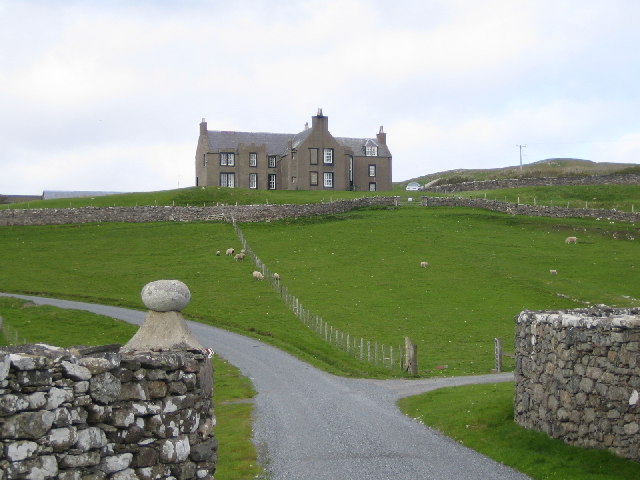
Image: © John Winterbottom Taken: 9 Jun 2005
From near Lunna Kirk. In the early years of WWII Lunna House became the HQ of the Norwegian Resistance and boats regularly crossed from West Lunna Voe to the Norwegian fjords.
Images are licensed for reuse under creativecommons.org/licenses/by-sa/2.0
Image Location


Leaflet Map data © OpenStreetMap
Latitude
60.40556
Longitude
-1.117879