Orchard Park
Introduction
The photograph on this page of Orchard Park by Paul Glazzard as part of the Geograph project.
The Geograph project started in 2005 with the aim of publishing, organising and preserving representative images for every square kilometre of Great Britain, Ireland and the Isle of Man.

There are currently over 7.5m images from over 14,400 individuals and you can help contribute to the project by visiting https://www.geograph.org.uk
Orchard Park
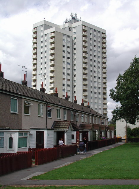
Image: © Paul Glazzard Taken: 1 Aug 2008
Looking north-northwest towards the block of flats at 13 to 122 Highcourt from Courtpark Road, with 19 to 28 Jetcourt in the foreground.
Images are licensed for reuse under creativecommons.org/licenses/by-sa/2.0
Image Location
Latitude
53.78335
Longitude
-0.385879