Free Range Hens
Introduction
The photograph on this page of Free Range Hens by Colin Smith as part of the Geograph project.
The Geograph project started in 2005 with the aim of publishing, organising and preserving representative images for every square kilometre of Great Britain, Ireland and the Isle of Man.

There are currently over 7.5m images from over 14,400 individuals and you can help contribute to the project by visiting https://www.geograph.org.uk
Free Range Hens
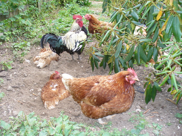
Image: © Colin Smith Taken: 3 Aug 2008
Hens and rooster settling into the loose topsoil at Blake's Lane Farm, East Clandon.
Images are licensed for reuse under creativecommons.org/licenses/by-sa/2.0
Image Location
Latitude
51.251617
Longitude
-0.472503