High Street, Sydling St Nicholas
Introduction
The photograph on this page of High Street, Sydling St Nicholas by Andrew Smith as part of the Geograph project.
The Geograph project started in 2005 with the aim of publishing, organising and preserving representative images for every square kilometre of Great Britain, Ireland and the Isle of Man.

There are currently over 7.5m images from over 14,400 individuals and you can help contribute to the project by visiting https://www.geograph.org.uk
High Street, Sydling St Nicholas
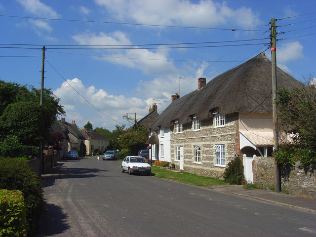
Image: © Andrew Smith Taken: 27 Jul 2008
The first cottage is The Old School and dates from the 18th century. This is the view up High Street from the crossroads below the church.
Images are licensed for reuse under creativecommons.org/licenses/by-sa/2.0
Image Location
Latitude
50.792808
Longitude
-2.5239