Flooded stream rushing over Dance Lane
Introduction
The photograph on this page of Flooded stream rushing over Dance Lane by Wendy North as part of the Geograph project.
The Geograph project started in 2005 with the aim of publishing, organising and preserving representative images for every square kilometre of Great Britain, Ireland and the Isle of Man.

There are currently over 7.5m images from over 14,400 individuals and you can help contribute to the project by visiting https://www.geograph.org.uk
Flooded stream rushing over Dance Lane
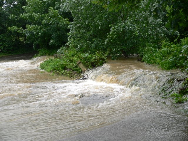
Image: © Wendy North Taken: 26 Jun 2007
The streams from the hillside around Northorpe (SE 308 002) all feed into this one stream, which then joins Crane Moor Dike at the junction of Dance Lane and Gudgeon Hole Lane. On the afternoon of the 26th June 2007 the flow of water was so great and so fast that the roads in this area became the stream bed. The damage to these roads has still not been repaired more than a year later.
Images are licensed for reuse under creativecommons.org/licenses/by-sa/2.0
Image Location
Latitude
53.508384
Longitude
-1.535555