Farmland below White Sheet Hill
Introduction
The photograph on this page of Farmland below White Sheet Hill by Andrew Smith as part of the Geograph project.
The Geograph project started in 2005 with the aim of publishing, organising and preserving representative images for every square kilometre of Great Britain, Ireland and the Isle of Man.

There are currently over 7.5m images from over 14,400 individuals and you can help contribute to the project by visiting https://www.geograph.org.uk
Farmland below White Sheet Hill
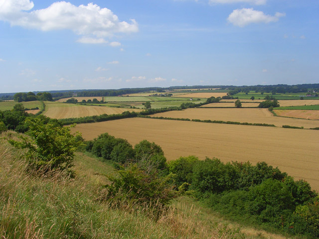
Image: © Andrew Smith Taken: 27 Jul 2008
The view from the northwest-facing scarp on the small ridge extending west from the hill. Stourhead may just be discerned in front of the woodland to the left and Alfred's Tower on the higher ground near the centre.
Images are licensed for reuse under creativecommons.org/licenses/by-sa/2.0
Image Location
Latitude
51.114809
Longitude
-2.298528