View towards Dunnetts Close
Introduction
The photograph on this page of View towards Dunnetts Close by Evelyn Simak as part of the Geograph project.
The Geograph project started in 2005 with the aim of publishing, organising and preserving representative images for every square kilometre of Great Britain, Ireland and the Isle of Man.

There are currently over 7.5m images from over 14,400 individuals and you can help contribute to the project by visiting https://www.geograph.org.uk
View towards Dunnetts Close
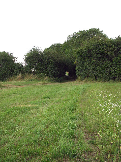
Image: © Evelyn Simak Taken: 1 Aug 2008
Dunnetts Close, marked on OS maps as a restricted byway, turns off Hale Road in the village of Ashill. It leads in easterly direction for about 3.5 kilometres and then ends at the edge of fields.
Images are licensed for reuse under creativecommons.org/licenses/by-sa/2.0
Image Location
Latitude
52.618093
Longitude
0.830646