Old woodland track, Allt-y-Hafod
Introduction
The photograph on this page of Old woodland track, Allt-y-Hafod by Natasha Ceridwen de Chroustchoff as part of the Geograph project.
The Geograph project started in 2005 with the aim of publishing, organising and preserving representative images for every square kilometre of Great Britain, Ireland and the Isle of Man.

There are currently over 7.5m images from over 14,400 individuals and you can help contribute to the project by visiting https://www.geograph.org.uk
Old woodland track, Allt-y-Hafod
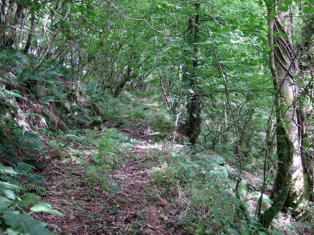
Image: © Natasha Ceridwen de Chroustchoff Taken: 2 Aug 2008
The footpath marked on the map here is not apparent on the ground but the wooded valley still retains residual signs of the trackways that once served old quarries in the area.
Images are licensed for reuse under creativecommons.org/licenses/by-sa/2.0
Image Location


Leaflet Map data © OpenStreetMap
Latitude
51.922613
Longitude
-4.606504