Lovedean Lane Burial Ground, Kingsworthy
Introduction
The photograph on this page of Lovedean Lane Burial Ground, Kingsworthy by Peter Facey as part of the Geograph project.
The Geograph project started in 2005 with the aim of publishing, organising and preserving representative images for every square kilometre of Great Britain, Ireland and the Isle of Man.

There are currently over 7.5m images from over 14,400 individuals and you can help contribute to the project by visiting https://www.geograph.org.uk
Lovedean Lane Burial Ground, Kingsworthy
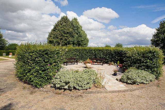
Image: © Peter Facey Taken: 2 Aug 2008
Owned by Kingsworthy Parish Council. This is the small circular area at its centre.
Images are licensed for reuse under creativecommons.org/licenses/by-sa/2.0
Image Location


Leaflet Map data © OpenStreetMap
Latitude
51.098685
Longitude
-1.295888