Ridge path on End Hill
Introduction
The photograph on this page of Ridge path on End Hill by Trevor Rickard as part of the Geograph project.
The Geograph project started in 2005 with the aim of publishing, organising and preserving representative images for every square kilometre of Great Britain, Ireland and the Isle of Man.

There are currently over 7.5m images from over 14,400 individuals and you can help contribute to the project by visiting https://www.geograph.org.uk
Ridge path on End Hill
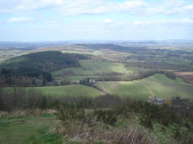
Image: © Trevor Rickard Taken: 17 Mar 2008
Looking north from the ridge leading up to End Hill, the most northerly of the Malverns. Cowleigh Park Farm below on the right. High Wood and Rough Hill Wood on the left. The 'dot' in the sky is a buzzard, a common sight here now.
Images are licensed for reuse under creativecommons.org/licenses/by-sa/2.0
Image Location
Latitude
52.126383
Longitude
-2.345271