Confluence, Nant Elwyn
Introduction
The photograph on this page of Confluence, Nant Elwyn by Natasha Ceridwen de Chroustchoff as part of the Geograph project.
The Geograph project started in 2005 with the aim of publishing, organising and preserving representative images for every square kilometre of Great Britain, Ireland and the Isle of Man.

There are currently over 7.5m images from over 14,400 individuals and you can help contribute to the project by visiting https://www.geograph.org.uk
Confluence, Nant Elwyn
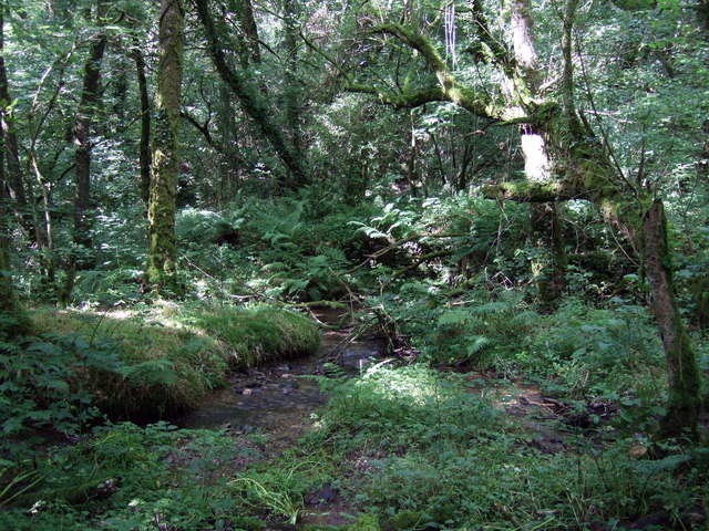
Image: © Natasha Ceridwen de Chroustchoff Taken: 2 Aug 2008
The little river Elwyn is joined at this point by tributaries flowing from the south and north. The whole area is now a tangled woodland that conceals traces of old quarrying activity. Old maps indicate there was a ford here.
Images are licensed for reuse under creativecommons.org/licenses/by-sa/2.0
Image Location
Latitude
51.922796
Longitude
-4.610441