Hollanders Bridge - Daw End Canal
Introduction
The photograph on this page of Hollanders Bridge - Daw End Canal by Adrian Rothery as part of the Geograph project.
The Geograph project started in 2005 with the aim of publishing, organising and preserving representative images for every square kilometre of Great Britain, Ireland and the Isle of Man.

There are currently over 7.5m images from over 14,400 individuals and you can help contribute to the project by visiting https://www.geograph.org.uk
Hollanders Bridge - Daw End Canal
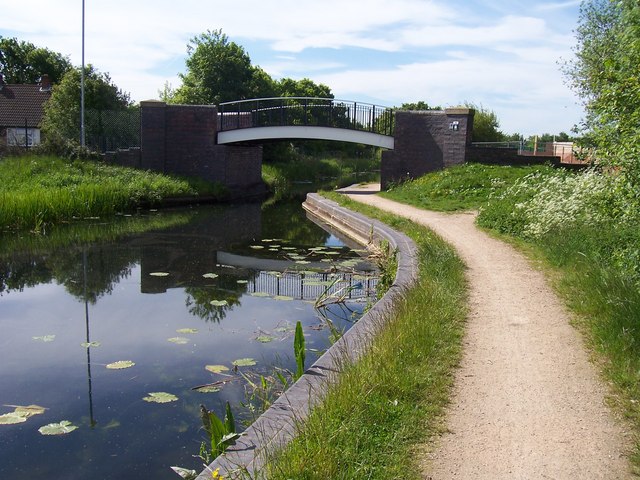
Image: © Adrian Rothery Taken: 22 May 2007
On the far right is the beginnings of a building site. Soon after there are new apartments built right up to the towpath edge.
Images are licensed for reuse under creativecommons.org/licenses/by-sa/2.0
Image Location
Latitude
52.622766
Longitude
-1.93496