Cwm Dyfnant county boundary
Introduction
The photograph on this page of Cwm Dyfnant county boundary by Natasha Ceridwen de Chroustchoff as part of the Geograph project.
The Geograph project started in 2005 with the aim of publishing, organising and preserving representative images for every square kilometre of Great Britain, Ireland and the Isle of Man.

There are currently over 7.5m images from over 14,400 individuals and you can help contribute to the project by visiting https://www.geograph.org.uk
Cwm Dyfnant county boundary
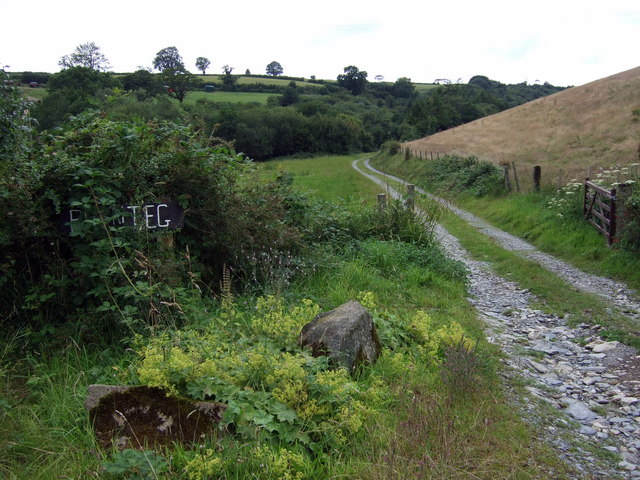
Image: © Natasha Ceridwen de Chroustchoff Taken: 2 Aug 2008
The valley of the little river Dyfnant forms the boundary between Sir Benfro and Sir Caerfyrddin here.
Images are licensed for reuse under creativecommons.org/licenses/by-sa/2.0
Image Location


Leaflet Map data © OpenStreetMap
Latitude
51.931935
Longitude
-4.58755