The White House Pub, Scrapsgate
Introduction
The photograph on this page of The White House Pub, Scrapsgate by Martin Coull as part of the Geograph project.
The Geograph project started in 2005 with the aim of publishing, organising and preserving representative images for every square kilometre of Great Britain, Ireland and the Isle of Man.

There are currently over 7.5m images from over 14,400 individuals and you can help contribute to the project by visiting https://www.geograph.org.uk
The White House Pub, Scrapsgate
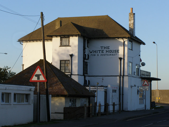
Image: © Martin Coull Taken: 9 Nov 2006
In an area known as Scrapsgate, you can see the sea wall in the background
Images are licensed for reuse under creativecommons.org/licenses/by-sa/2.0
Image Location
Latitude
51.434965
Longitude
0.79932