Cauliflower Crop
Introduction
The photograph on this page of Cauliflower Crop by Pierre Terre as part of the Geograph project.
The Geograph project started in 2005 with the aim of publishing, organising and preserving representative images for every square kilometre of Great Britain, Ireland and the Isle of Man.

There are currently over 7.5m images from over 14,400 individuals and you can help contribute to the project by visiting https://www.geograph.org.uk
Cauliflower Crop
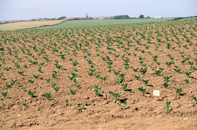
Image: © Pierre Terre Taken: 25 Jul 2008
According to the handy white label this is a field of Buren, a variety of cauliflower. In the distance is the spire of Cubert church.
Images are licensed for reuse under creativecommons.org/licenses/by-sa/2.0
Image Location
Latitude
50.36603
Longitude
-5.107498