2008 : Hayfield near Upper Langridge Farm
Introduction
The photograph on this page of 2008 : Hayfield near Upper Langridge Farm by Maurice Pullin as part of the Geograph project.
The Geograph project started in 2005 with the aim of publishing, organising and preserving representative images for every square kilometre of Great Britain, Ireland and the Isle of Man.

There are currently over 7.5m images from over 14,400 individuals and you can help contribute to the project by visiting https://www.geograph.org.uk
2008 : Hayfield near Upper Langridge Farm
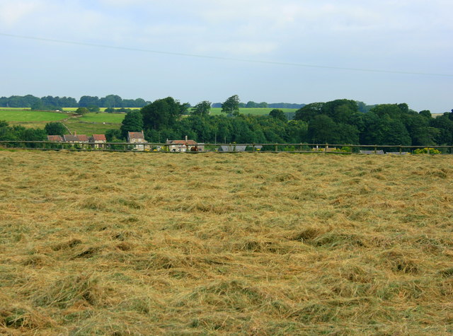
Image: © Maurice Pullin Taken: 22 Jul 2008
The grass has been cut and turned and is drying off nicely. Will soon be ready for baling.
Images are licensed for reuse under creativecommons.org/licenses/by-sa/2.0
Image Location
Latitude
51.416041
Longitude
-2.38878