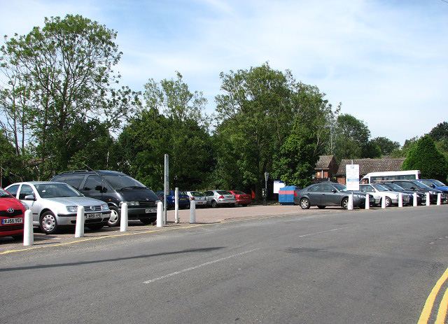
Pay and display car park
Introduction
The photograph on this page of Pay and display car park by Evelyn Simak as part of the Geograph project.
The Geograph project started in 2005 with the aim of publishing, organising and preserving representative images for every square kilometre of Great Britain, Ireland and the Isle of Man.
There are currently over 7.5m images from over 14,400 individuals and you can help contribute to the project by visiting https://www.geograph.org.uk

Image: © Evelyn Simak Taken: 30 Jul 2008
By the staithe; the road seen in the foreground is Lower Street. The village of Horning is situated on the northern bank of the River Bure, stretching for about a mile. Lower Street, its main thoroughfare, runs parallel to the river; it is lined with shops, restaurants, B&B establishments and attractive houses and cottages. The history of Horning dates back to 1020 when the manor was given by King Canute to the newly founded Abbey of St Benet.

