The disused Capel Gwynfa, Longford Road
Introduction
The photograph on this page of The disused Capel Gwynfa, Longford Road by Eric Jones as part of the Geograph project.
The Geograph project started in 2005 with the aim of publishing, organising and preserving representative images for every square kilometre of Great Britain, Ireland and the Isle of Man.

There are currently over 7.5m images from over 14,400 individuals and you can help contribute to the project by visiting https://www.geograph.org.uk
The disused Capel Gwynfa, Longford Road
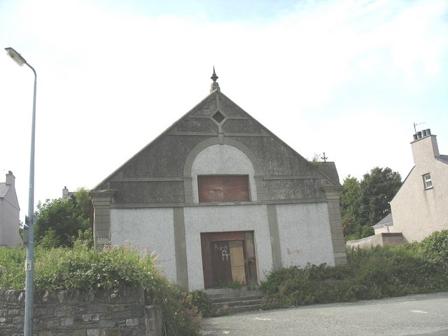
Image: © Eric Jones Taken: 21 Jul 2008
This chapel was built by the Wesleyans in 1888. It closed in 1960 but was used for a while as a Salvationist Citadel. Later, it became a garage. It now appears to be disused.
Images are licensed for reuse under creativecommons.org/licenses/by-sa/2.0
Image Location
Latitude
53.307383
Longitude
-4.636388