Brynhyfryd Elim Pentecostal Chapel
Introduction
The photograph on this page of Brynhyfryd Elim Pentecostal Chapel by Eric Jones as part of the Geograph project.
The Geograph project started in 2005 with the aim of publishing, organising and preserving representative images for every square kilometre of Great Britain, Ireland and the Isle of Man.

There are currently over 7.5m images from over 14,400 individuals and you can help contribute to the project by visiting https://www.geograph.org.uk
Brynhyfryd Elim Pentecostal Chapel
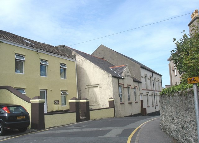
Image: © Eric Jones Taken: 21 Jul 2008
This chapel and vestry, built by the Congregationalists in 1906, stand on the corner of Longford Road and Thomas Street.
Images are licensed for reuse under creativecommons.org/licenses/by-sa/2.0
Image Location


Leaflet Map data © OpenStreetMap
Latitude
53.309931
Longitude
-4.635044