Golf Course, Morton
Introduction
The photograph on this page of Golf Course, Morton by Humphrey Bolton as part of the Geograph project.
The Geograph project started in 2005 with the aim of publishing, organising and preserving representative images for every square kilometre of Great Britain, Ireland and the Isle of Man.

There are currently over 7.5m images from over 14,400 individuals and you can help contribute to the project by visiting https://www.geograph.org.uk
Golf Course, Morton
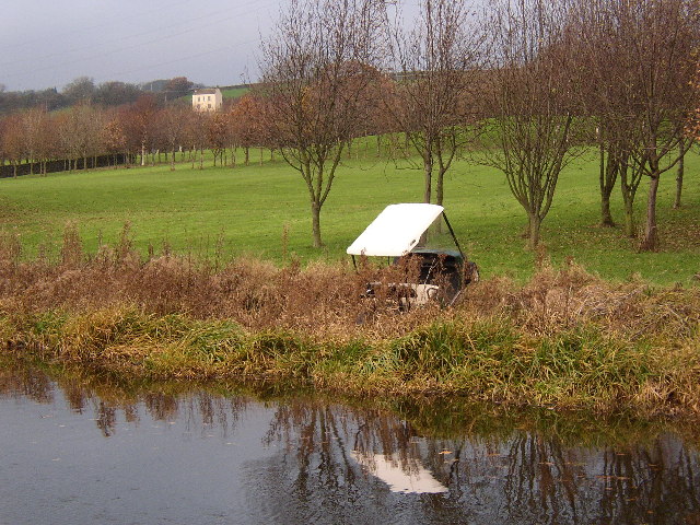
Image: © Humphrey Bolton Taken: 11 Dec 2005
This course has been made on a large block of former farmland (Nursery Farm) east of Swine Lane and south of Carr Lane. The golf cart nearly in the canal is probably the result of vandalism - there was another one in the canal a little further along.
Images are licensed for reuse under creativecommons.org/licenses/by-sa/2.0
Image Location


Leaflet Map data © OpenStreetMap
Latitude
53.870528
Longitude
-1.86157