Rough pasture south-east of Tregaron, Ceredigion
Introduction
The photograph on this page of Rough pasture south-east of Tregaron, Ceredigion by Roger D Kidd as part of the Geograph project.
The Geograph project started in 2005 with the aim of publishing, organising and preserving representative images for every square kilometre of Great Britain, Ireland and the Isle of Man.

There are currently over 7.5m images from over 14,400 individuals and you can help contribute to the project by visiting https://www.geograph.org.uk
Rough pasture south-east of Tregaron, Ceredigion
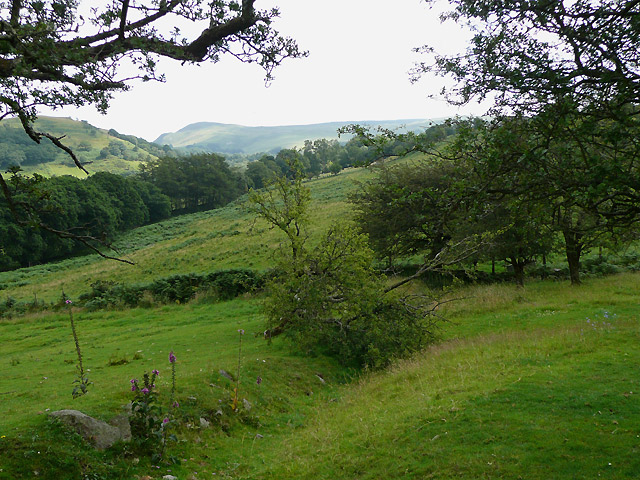
Image: © Roger D Kidd Taken: 26 Jul 2008
Looking up Nant y Fleinog to Nant Ochnagarreg and over to the Elenydd moorlands.
Images are licensed for reuse under creativecommons.org/licenses/by-sa/2.0
Image Location


Leaflet Map data © OpenStreetMap
Latitude
52.211875
Longitude
-3.919609