Barley growing near Ryehill
Introduction
The photograph on this page of Barley growing near Ryehill by Mike Pennington as part of the Geograph project.
The Geograph project started in 2005 with the aim of publishing, organising and preserving representative images for every square kilometre of Great Britain, Ireland and the Isle of Man.

There are currently over 7.5m images from over 14,400 individuals and you can help contribute to the project by visiting https://www.geograph.org.uk
Barley growing near Ryehill
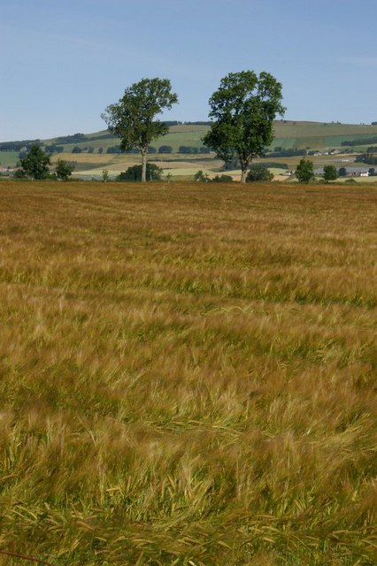
Image: © Mike Pennington Taken: 21 Jul 2008
With the rolling hills east of Rattray in the distance.
Images are licensed for reuse under creativecommons.org/licenses/by-sa/2.0
Image Location


Leaflet Map data © OpenStreetMap
Latitude
56.575047
Longitude
-3.261892