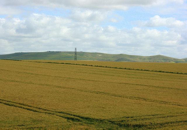
2008 : Wheatfield and pylon near Patney
Introduction
The photograph on this page of 2008 : Wheatfield and pylon near Patney by Maurice Pullin as part of the Geograph project.
The Geograph project started in 2005 with the aim of publishing, organising and preserving representative images for every square kilometre of Great Britain, Ireland and the Isle of Man.
There are currently over 7.5m images from over 14,400 individuals and you can help contribute to the project by visiting https://www.geograph.org.uk

Image: © Maurice Pullin Taken: 21 Jul 2008
Good fertile land, wheat ripening nicely. The white horse on the hillside is between Milk Hill to the left and Walkers Hill to the right. A useful landmark to travellers on the Kennet & Avon canal going east. The figure stands directly in line with the main road passing through Alton Barnes and Honey Street, the centre of the local crop circle industry http://www.ukcropcircles.co.uk/?page=circle-thumbnails&id=176 Not long ago I met a man at Honey Street who knew about crop circles so I asked him if they still thought they were made by beings from outer space. "Oh! Bless you yes," he said "sure to have been. Mind you, folk round here think outer space begins at Devizes."

