Hastoe hamlet
Introduction
The photograph on this page of Hastoe hamlet by Rob Farrow as part of the Geograph project.
The Geograph project started in 2005 with the aim of publishing, organising and preserving representative images for every square kilometre of Great Britain, Ireland and the Isle of Man.

There are currently over 7.5m images from over 14,400 individuals and you can help contribute to the project by visiting https://www.geograph.org.uk
Hastoe hamlet
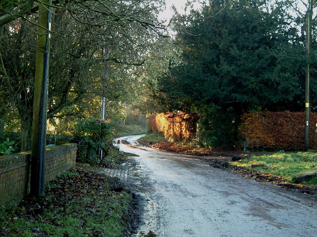
Image: © Rob Farrow Taken: 10 Dec 2005
Looking down Gadmore Lane in Hastoe. A little further along this lane is the entrance to Pavis Wood, which at 244m elevation, is the highest point in Hertfordshire.
Images are licensed for reuse under creativecommons.org/licenses/by-sa/2.0
Image Location
Latitude
51.774869
Longitude
-0.67232