Upper Bourne End Lane entrance
Introduction
The photograph on this page of Upper Bourne End Lane entrance by Rob Farrow as part of the Geograph project.
The Geograph project started in 2005 with the aim of publishing, organising and preserving representative images for every square kilometre of Great Britain, Ireland and the Isle of Man.

There are currently over 7.5m images from over 14,400 individuals and you can help contribute to the project by visiting https://www.geograph.org.uk
Upper Bourne End Lane entrance
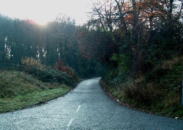
Image: © Rob Farrow Taken: 10 Dec 2005
Upper Bourne End Lane was chopped in two by the construction of the new A41 a few years ago. This southern section is heading into Hanging Wood and comes to a dead end.
Images are licensed for reuse under creativecommons.org/licenses/by-sa/2.0
Image Location
Latitude
51.739598
Longitude
-0.526928