Bridgehouse mills, Haworth
Introduction
The photograph on this page of Bridgehouse mills, Haworth by Chris Allen as part of the Geograph project.
The Geograph project started in 2005 with the aim of publishing, organising and preserving representative images for every square kilometre of Great Britain, Ireland and the Isle of Man.

There are currently over 7.5m images from over 14,400 individuals and you can help contribute to the project by visiting https://www.geograph.org.uk
Bridgehouse mills, Haworth
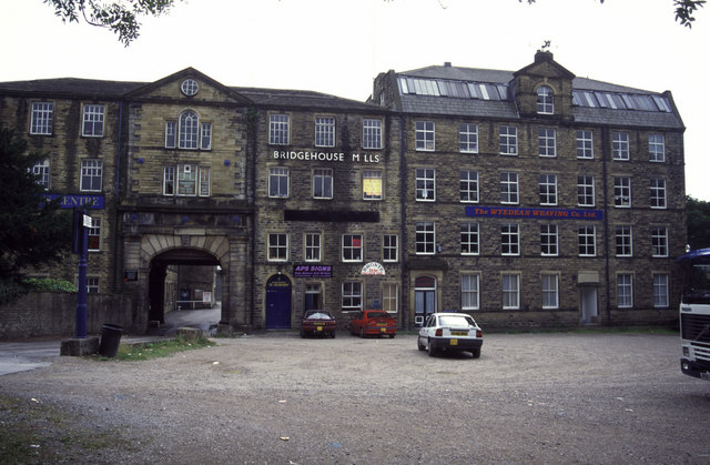
Image: © Chris Allen Taken: 31 Jul 1994
See https://www.historicengland.org.uk/listing/the-list/list-entry/1134115 for details of this building.
Images are licensed for reuse under creativecommons.org/licenses/by-sa/2.0
Image Location


Leaflet Map data © OpenStreetMap
Latitude
53.828354
Longitude
-1.9477