Goldens house near Teffont Evias
Introduction
The photograph on this page of Goldens house near Teffont Evias by Andy Gryce as part of the Geograph project.
The Geograph project started in 2005 with the aim of publishing, organising and preserving representative images for every square kilometre of Great Britain, Ireland and the Isle of Man.

There are currently over 7.5m images from over 14,400 individuals and you can help contribute to the project by visiting https://www.geograph.org.uk
Goldens house near Teffont Evias
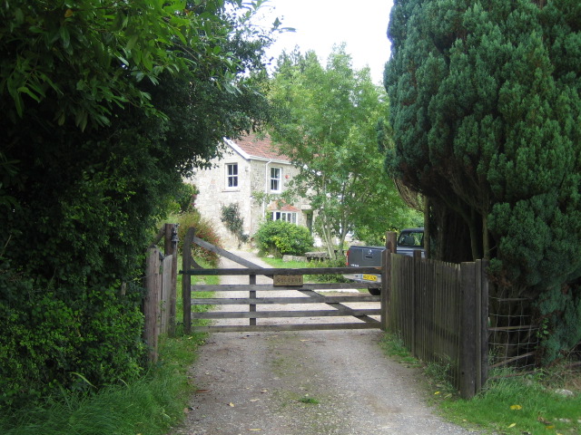
Image: © Andy Gryce Taken: 6 Jul 2007
This detached house off an unclassified road south-west of Teffont Evias, overlooks the fields and woods of the Nadder valley to the south.
Images are licensed for reuse under creativecommons.org/licenses/by-sa/2.0
Image Location
Latitude
51.077424
Longitude
-2.003233