Waterstone Park Playground
Introduction
The photograph on this page of Waterstone Park Playground by Ken Brown as part of the Geograph project.
The Geograph project started in 2005 with the aim of publishing, organising and preserving representative images for every square kilometre of Great Britain, Ireland and the Isle of Man.

There are currently over 7.5m images from over 14,400 individuals and you can help contribute to the project by visiting https://www.geograph.org.uk
Waterstone Park Playground
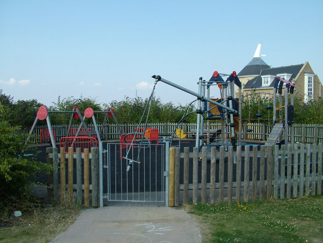
Image: © Ken Brown Taken: 28 Jul 2008
Up the hill from Sandpiper Close Image is a purpose built playpark and grassed playing field which overlooks river views to the north and the new Fusion development to the south. It can be only be accessed by foot from either the London road Image or Waterstone Park.
Images are licensed for reuse under creativecommons.org/licenses/by-sa/2.0
Image Location
Latitude
51.447388
Longitude
0.275464