The Brewers Arms
Introduction
The photograph on this page of The Brewers Arms by Simon Carey as part of the Geograph project.
The Geograph project started in 2005 with the aim of publishing, organising and preserving representative images for every square kilometre of Great Britain, Ireland and the Isle of Man.

There are currently over 7.5m images from over 14,400 individuals and you can help contribute to the project by visiting https://www.geograph.org.uk
The Brewers Arms
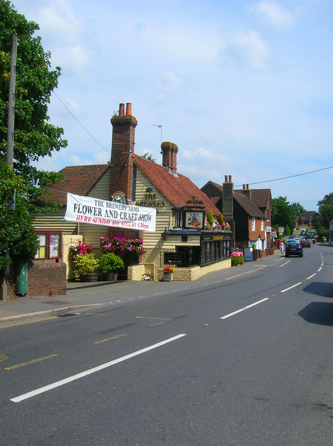
Image: © Simon Carey Taken: 27 Jul 2008
On Gardner Street and within stumbling distance of Herstmonceux village's other pub, the Woolpack Inn. The house is from the 18th century but was converted to a pub sometime in the late 19th/early 20th century.
Images are licensed for reuse under creativecommons.org/licenses/by-sa/2.0
Image Location
Latitude
50.889542
Longitude
0.324667