Woolpack Inn
Introduction
The photograph on this page of Woolpack Inn by Simon Carey as part of the Geograph project.
The Geograph project started in 2005 with the aim of publishing, organising and preserving representative images for every square kilometre of Great Britain, Ireland and the Isle of Man.

There are currently over 7.5m images from over 14,400 individuals and you can help contribute to the project by visiting https://www.geograph.org.uk
Woolpack Inn
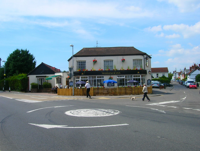
Image: © Simon Carey Taken: 27 Jul 2008
Old coaching inn on the junction of the A271 and West End, a minor road to Cowbeech, in the centre of Herstmonceux village.
Images are licensed for reuse under creativecommons.org/licenses/by-sa/2.0
Image Location
Latitude
50.889399
Longitude
0.322811