Across the Field to Herstmonceux
Introduction
The photograph on this page of Across the Field to Herstmonceux by Simon Carey as part of the Geograph project.
The Geograph project started in 2005 with the aim of publishing, organising and preserving representative images for every square kilometre of Great Britain, Ireland and the Isle of Man.

There are currently over 7.5m images from over 14,400 individuals and you can help contribute to the project by visiting https://www.geograph.org.uk
Across the Field to Herstmonceux
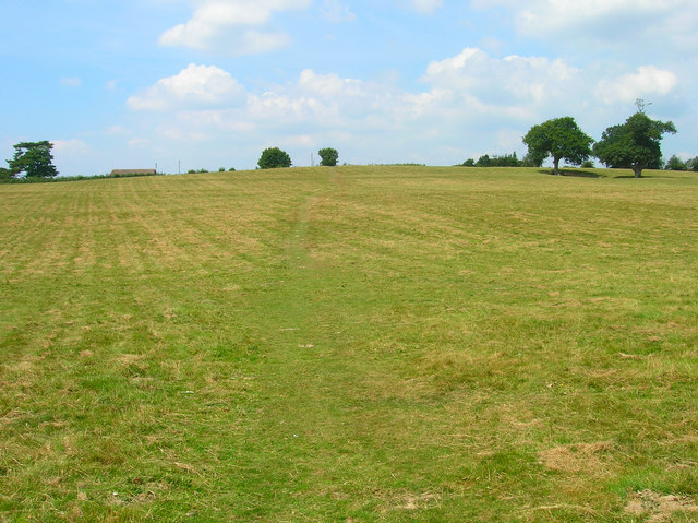
Image: © Simon Carey Taken: 27 Jul 2008
Across the field from Chapel Row joining another from Butler's Lane at the top of the hill. The rooftop on the left belongs to a cricket pavilion in the recreation ground.
Images are licensed for reuse under creativecommons.org/licenses/by-sa/2.0
Image Location
Latitude
50.887357
Longitude
0.32598