Sign at site of Roman influence
Introduction
The photograph on this page of Sign at site of Roman influence by Stephen Sweeney as part of the Geograph project.
The Geograph project started in 2005 with the aim of publishing, organising and preserving representative images for every square kilometre of Great Britain, Ireland and the Isle of Man.

There are currently over 7.5m images from over 14,400 individuals and you can help contribute to the project by visiting https://www.geograph.org.uk
Sign at site of Roman influence
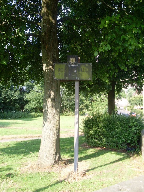
Image: © Stephen Sweeney Taken: 24 Jul 2008
Duntocher was part of the route of the Antonine Wall, and on this site a Roman fort once stood.
Images are licensed for reuse under creativecommons.org/licenses/by-sa/2.0
Image Location
Latitude
55.924701
Longitude
-4.412432