Egremont Cemetery.
Introduction
The photograph on this page of Egremont Cemetery. by John Holmes as part of the Geograph project.
The Geograph project started in 2005 with the aim of publishing, organising and preserving representative images for every square kilometre of Great Britain, Ireland and the Isle of Man.

There are currently over 7.5m images from over 14,400 individuals and you can help contribute to the project by visiting https://www.geograph.org.uk
Egremont Cemetery.
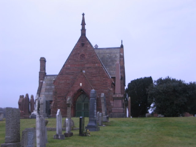
Image: © John Holmes Taken: 11 Dec 2005
There are 2 buildings in the cemetery and 1 church marked on my map. It may well be a chapel for services that is marked.
Images are licensed for reuse under creativecommons.org/licenses/by-sa/2.0
Image Location
Latitude
54.489045
Longitude
-3.53752