Rosebush campsite and lake
Introduction
The photograph on this page of Rosebush campsite and lake by Natasha Ceridwen de Chroustchoff as part of the Geograph project.
The Geograph project started in 2005 with the aim of publishing, organising and preserving representative images for every square kilometre of Great Britain, Ireland and the Isle of Man.

There are currently over 7.5m images from over 14,400 individuals and you can help contribute to the project by visiting https://www.geograph.org.uk
Rosebush campsite and lake
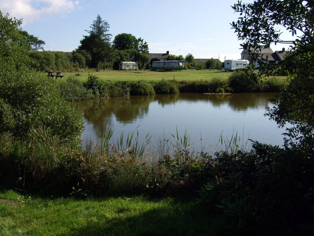
Image: © Natasha Ceridwen de Chroustchoff Taken: 27 Jul 2008
The lake, or fishpond, was part of the 'pleasure gardens' with trees and walks, created in the late 1870s in an attempt to attract tourists to use the newly-constructed railway for sightseeing trips to this out-of-the-way corner of Wales. The spot makes an attractive location for a camping area now.
Images are licensed for reuse under creativecommons.org/licenses/by-sa/2.0
Image Location


Leaflet Map data © OpenStreetMap
Latitude
51.9302
Longitude
-4.804497