Waterstone Park Oast House
Introduction
The photograph on this page of Waterstone Park Oast House by Ken Brown as part of the Geograph project.
The Geograph project started in 2005 with the aim of publishing, organising and preserving representative images for every square kilometre of Great Britain, Ireland and the Isle of Man.

There are currently over 7.5m images from over 14,400 individuals and you can help contribute to the project by visiting https://www.geograph.org.uk
Waterstone Park Oast House
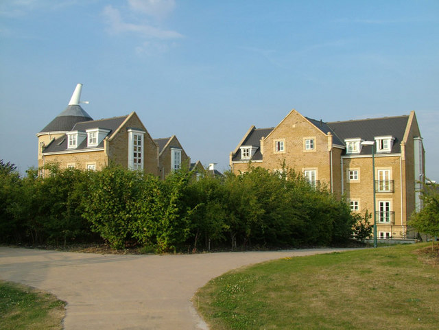
Image: © Ken Brown Taken: 27 Jul 2008
As part of the Waterstone Park design to integrate into the landscape a modern 'Fake' Oast has been added. Running Parallel to the London Road, vehicle access is only from Sanderling Way. Ramblers can take the scenic route via the old road Image
Images are licensed for reuse under creativecommons.org/licenses/by-sa/2.0
Image Location
Latitude
51.447301
Longitude
0.275316