Mynydd Mawr Hospital
Introduction
The photograph on this page of Mynydd Mawr Hospital by Nigel Davies as part of the Geograph project.
The Geograph project started in 2005 with the aim of publishing, organising and preserving representative images for every square kilometre of Great Britain, Ireland and the Isle of Man.

There are currently over 7.5m images from over 14,400 individuals and you can help contribute to the project by visiting https://www.geograph.org.uk
Mynydd Mawr Hospital
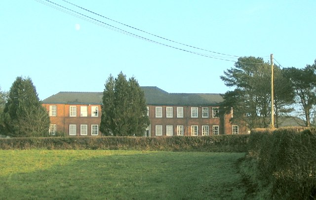
Image: © Nigel Davies Taken: 11 Dec 2005
This small hospital sits just alongside the main road from Tumble to Llannon. It is right next to Upper Tumble public cemetery. I think building hospitals next to cemeteries demonstrates a slightly defeatist attitude.
Images are licensed for reuse under creativecommons.org/licenses/by-sa/2.0
Image Location


Leaflet Map data © OpenStreetMap
Latitude
51.771536
Longitude
-4.108714