Footpath heading NE down into Ashdon
Introduction
The photograph on this page of Footpath heading NE down into Ashdon by Alan Hawkes as part of the Geograph project.
The Geograph project started in 2005 with the aim of publishing, organising and preserving representative images for every square kilometre of Great Britain, Ireland and the Isle of Man.

There are currently over 7.5m images from over 14,400 individuals and you can help contribute to the project by visiting https://www.geograph.org.uk
Footpath heading NE down into Ashdon
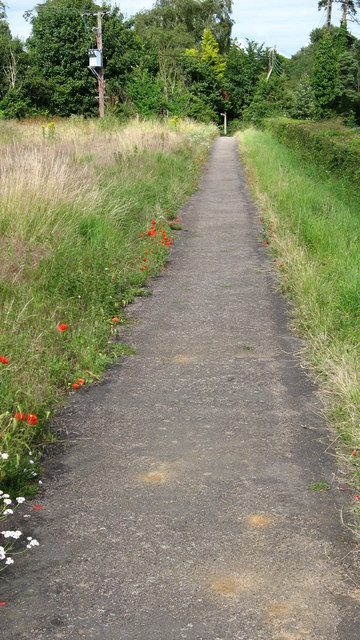
Image: © Alan Hawkes Taken: 13 Jul 2008
This footpath runs parallel to the road that drops down into the valley where the village of Ashdon is located. Prior to the Black Death in the 14th century the village was at the top of the hill SW of the current location. The survivors moved to the present location. The church remains in its original setting on the hill
Images are licensed for reuse under creativecommons.org/licenses/by-sa/2.0
Image Location
Latitude
52.05202
Longitude
0.309855