Staddiscombe
Introduction
The photograph on this page of Staddiscombe by Tony Atkin as part of the Geograph project.
The Geograph project started in 2005 with the aim of publishing, organising and preserving representative images for every square kilometre of Great Britain, Ireland and the Isle of Man.

There are currently over 7.5m images from over 14,400 individuals and you can help contribute to the project by visiting https://www.geograph.org.uk
Staddiscombe
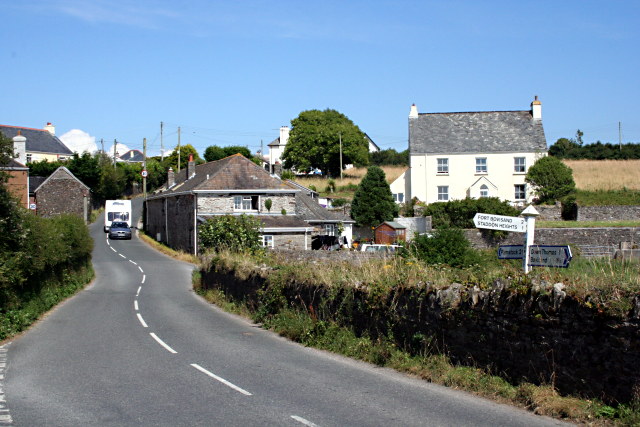
Image: © Tony Atkin Taken: 26 Jul 2008
Staddiscombe is a hamlet on the hilltop just outside the Plymouth urban area.
Images are licensed for reuse under creativecommons.org/licenses/by-sa/2.0
Image Location
Latitude
50.342636
Longitude
-4.090154