River Brent
Introduction
The photograph on this page of River Brent by Martin Addison as part of the Geograph project.
The Geograph project started in 2005 with the aim of publishing, organising and preserving representative images for every square kilometre of Great Britain, Ireland and the Isle of Man.

There are currently over 7.5m images from over 14,400 individuals and you can help contribute to the project by visiting https://www.geograph.org.uk
River Brent
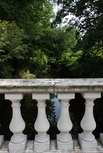
Image: © Martin Addison Taken: 26 Jul 2008
Looking back towards Dollis Brook from Bell Lane. The bridge is actually the boundary between Bell Lane and Bridge Lane, although some maps show Bell Lane as continuing south-east to the junction with the North Circular.
Images are licensed for reuse under creativecommons.org/licenses/by-sa/2.0
Image Location
Latitude
51.587288
Longitude
-0.210823