Friar Waddon
Introduction
The photograph on this page of Friar Waddon by Nigel Mykura as part of the Geograph project.
The Geograph project started in 2005 with the aim of publishing, organising and preserving representative images for every square kilometre of Great Britain, Ireland and the Isle of Man.

There are currently over 7.5m images from over 14,400 individuals and you can help contribute to the project by visiting https://www.geograph.org.uk
Friar Waddon
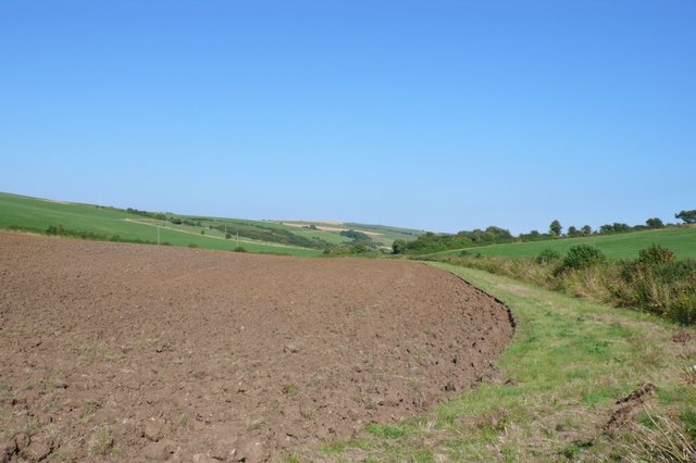
Image: © Nigel Mykura Taken: 26 Jul 2008
Friar Waddon lies in a dry chalk valley parallel to the Ridgeway. This is the view along the valley east towards Upwey
Images are licensed for reuse under creativecommons.org/licenses/by-sa/2.0
Image Location


Leaflet Map data © OpenStreetMap
Latitude
50.671071
Longitude
-2.497638