Crooked Billet, SW19
Introduction
The photograph on this page of Crooked Billet, SW19 by Mike Quinn as part of the Geograph project.
The Geograph project started in 2005 with the aim of publishing, organising and preserving representative images for every square kilometre of Great Britain, Ireland and the Isle of Man.

There are currently over 7.5m images from over 14,400 individuals and you can help contribute to the project by visiting https://www.geograph.org.uk
Crooked Billet, SW19
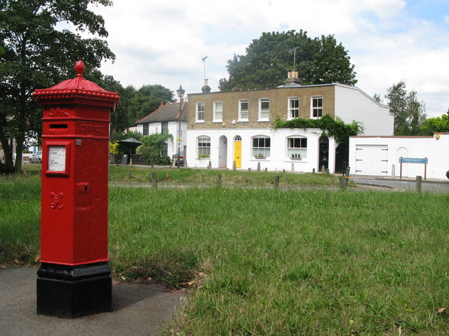
Image: © Mike Quinn Taken: 23 Jul 2008
Shows the location of Image The postbox can also be seen in what is almost a reverse view: Image
Images are licensed for reuse under creativecommons.org/licenses/by-sa/2.0
Image Location
Latitude
51.421443
Longitude
-0.226944