Penfold postbox, Woodhayes Road / Crooked Billet, SW19
Introduction
The photograph on this page of Penfold postbox, Woodhayes Road / Crooked Billet, SW19 by Mike Quinn as part of the Geograph project.
The Geograph project started in 2005 with the aim of publishing, organising and preserving representative images for every square kilometre of Great Britain, Ireland and the Isle of Man.

There are currently over 7.5m images from over 14,400 individuals and you can help contribute to the project by visiting https://www.geograph.org.uk
Penfold postbox, Woodhayes Road / Crooked Billet, SW19
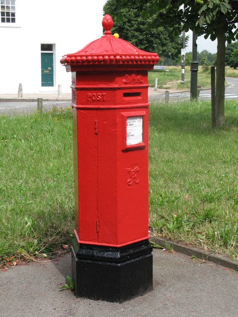
Image: © Mike Quinn Taken: 23 Jul 2008
The location of this postbox is shown in Image and Image; and in Image (photographed by Noel Foster).
Images are licensed for reuse under creativecommons.org/licenses/by-sa/2.0
Image Location
Latitude
51.421516
Longitude
-0.225791